In the past several decades, airborne magnetic surveys have become a common means of acquiring data required for mineral and hydrocarbon exploration. The information uncovered during a magnetic survey is often the first phase of an exploration program to detect valuable minable magnetic ores such as kimberlites, chrome, and magnetic iron ores, as well as hyrdrocarbons, precious metals, uranium and water.
The exploration process usually commences with a regional airborne magnetic survey producing relatively low-resolution data, to be followed up with a detailed survey. Detailed surveys tend to be smaller in scale, with closer line spacing producing higher resolution, more detailed data, and are typically flown with secondary geophysical technologies such as gravity and VLF-EM, which may lead to further mineral exploration such as exploratory drilling.
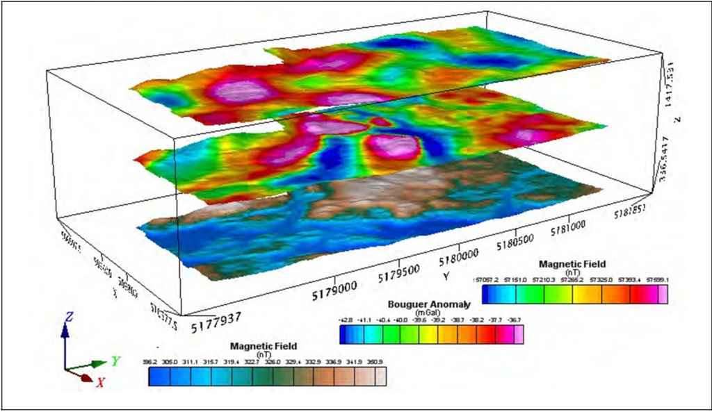
In an airborne magnetic survey, a magnetometer or series of magnetometers are attached to an aircraft and measure variations in the earth’s magnetic fields from the air. Anomalies may indicate where minerals are present.
While mining companies use airborne magnetic surveys in the prospecting stages of mineral exploration, others also rely on these methods as a means of uncovering concentrations of non-metallic commodities such as petroleum and coal.
Airborne magnetic surveys provide sufficient data for mapping lithologies and structure.
Types of airborne magnetometer setups include;
- Single sensor (typically a tail stinger, or heli-boom, which generally gets the best data due to greater separation)
- Horizontal magnetic gradiometry (data acquired from two wingtip pod magnetometer sensors)
- Vertical gradiometer (two tail stinger mags mounted in a vertical orientation)
- Total magnetic intensity surveys (A combination of several magnetic sensors, typically three, but potentially four)
Airborne magnetic surveys work by identifying the frequencies and disturbances of the ambient magnetic fields existent as a result of the concentration of magnetic minerals present in the Earth’s crust.