Geophysical surveying is a technique of the mining industry which uses a specialized instruments to measure the physical properties of rocks and soil in the surface and subsurface. The goal of geophysical surveying is to detect and/or predict the presence and position of elements and minerals, ground water, oil and gas and other components of … Read more
 John Currie
Introduction to Airborne Magnetic Surveys Airborne magnetic surveying is a geophysical method used to image anomalies in the earth’s magnetic field caused by variations in the magnetization of the crust. These variations may be indicative of structural or lithological contrasts in the subsurface. Magnetic data can be collected on the earth’s surface, from the air, … Read more
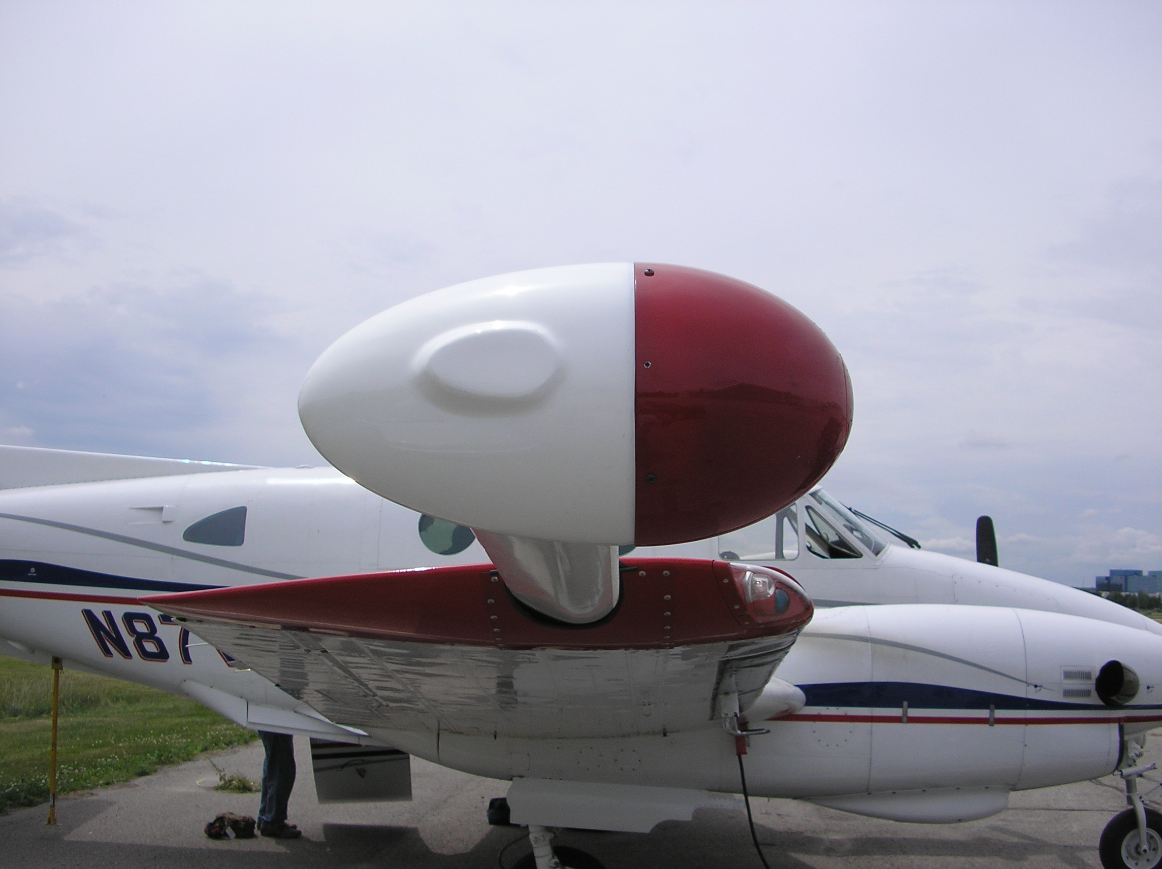
Specialists in Airborne Geophysical Surveys Terraquest was established in 1984 and since then, our dedicated team has flown over 1,500 airborne geophysical surveys using both fixed wing and helicopter platforms. Our professional crews provide significant experience having carried out airborne magnetic surveys, airborne gravity surveys, airborne radiometric surveys, and airborne electromagnetic surveys on five continents. … Read more
Mineral and hydrocarbon exploration is conducted in several stages and the prospecting stage is arguably one of the most important. Prospecting can be done in various different ways but typically airborne geophysical surveys are used for either regional or detailed investigations. There are two methods of prospecting, including direct and indirect. Surveys conducted as a … Read more
Mineral exploration relies upon airborne geophysical companies that specialize in conducting highly precise surveys with high resolution data acquisition and advanced data interpretation. The success of a geophysical survey is dependent not only upon the survey itself, but the ability to interpret the data obtained accurately and apply it appropriately. Mining companies conduct airborne geophysical … Read more
The Demand for Geophysical Surveys; Greater global demand for minerals is leading to an increased demand for mineral exploration and in turn, airborne geophysical surveys. Airborne geophysical surveying, and specifically,, airborne magnetic surveys and airborne radiometrics surveys have become leading techniques to lubricate exploration. Both helicopters and fixed wing aircraft are used for efficient acquisition … Read more
Gravity surveying is the process of measuring the local gravitational field of the Earth. Airborne gravity surveying revolves around the process of measuring and mapping changes in the gravity field with an airborne gravimeter on a helicopter or an aircraft. This ultra-sensitive equipment reveals information about the subsurface density of rock within the Earth. The … Read more
Quality, experienced Geophysicists are integral to overseeing the proper execution of all stages of the the acquisition process. Starting with initial survey design and an extensive review of the client’s survey targets and goals, Terraquest incorporates an experienced Geophysicist from the start of the planning process to provide input into extensive survey planning including, There … Read more
In radio communications terminology, VLF means Very Low Frequency, typically about 15 to 25 kHz. VLF-EM is a geophysical survey technique that measures VLF signals from very powerful radio transmitters that induce electric currents in conductive bodies thousands of kilometres away. These powerful transmitters are located around the world, and are used primarily for military communication purposes with … Read more